Google DeepMind maps every 10-meter forest type for business use
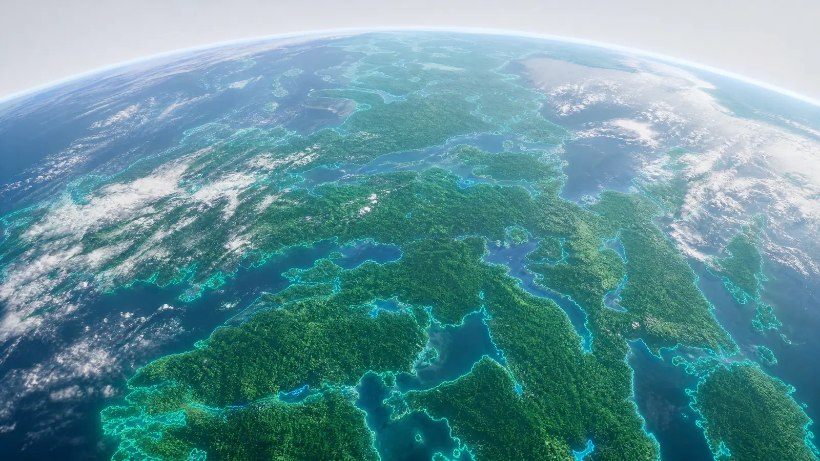
Google DeepMind has released a new global map that classifies every 10-meter patch of land on Earth by forest type. The company says this is the first time a map at this resolution and detail has been made available for practical use.

Why it matters
Most global forest maps only show tree cover or broad vegetation, not the specific kind of forest present in each location. For companies, the difference between a mangrove, a pine plantation, or a temperate broadleaf forest can affect logistics, supply chains, insurance, and regulatory compliance. Google DeepMind’s new map offers this detail for every 10-meter patch worldwide, which was not available before at this scale.
DeepMind says the map is designed for integration into planning tools and risk models, not just for scientific research. This means businesses now have access to a new source of ground-truth data for decisions that depend on local land use and environmental risk.

How DeepMind built the 10-meter forest map
The project combines satellite imagery with AI models. DeepMind says it categorized every 10-meter patch of land globally, covering all continents and major forested regions. The system assigns each area to a specific forest type using remote sensing data and machine learning models trained on validated ground surveys.
According to DeepMind, this approach allows for identification of nuanced forest types, not just broad categories. The company says the map’s outputs are available to external users and can be updated as new satellite data arrives. This can help companies track changes in land use, monitor supply chain impacts, and manage compliance with environmental regulations.


What this means if you run a business
Businesses that deal with sourcing, logistics, or risk management in any region where forests matter now have access to a new layer of operational data. Insurance firms can use the map to assess wildfire or flood risks based on local forest type, not just general vegetation. Supply chain managers can check if a route crosses protected or sensitive forest types, which affects regulatory compliance and ESG reporting.
Logistics and transport planning tools can integrate DeepMind’s map to adjust routes or schedules in response to environmental events or seasonal changes. This is also relevant for companies responding to new regulations on land use or deforestation. The data is high enough resolution, every 10 meters, to matter for on-the-ground planning, not just policy. Previously, this kind of specificity was only available for small regions after expensive local surveys.
Businesses looking to automate or optimize route planning and risk assessment can now feed this data into their own AI systems. This is similar to how some companies are using large language models for daily operations, as seen with Uber’s ChatGPT deployment. The new forest map provides a current and specific input for compliance and efficiency, reducing reliance on generic or outdated land cover data.
Keep up
Get the next one before everyone else is talking about it.